Have you ever had a trip that you thought was going to be like any other but then turned out to be one of the most memorable? This guided tour, a collaboration of Wildwood Open Lands Foundation and Fernweh Guided Expeditions, was exactly that.
It started like any other trip. We spent our first night at Rye Patch Reservoir in central Nevada. It was warmer than we expected. When at Rye Patch, we met up with the rest of the guide team of five: Joel Hempel, Sue Drake, Jeff Rosenfeld, Daniel Mojica, and me.
Sue and I took a walk around the reservoir, just as the sun broke over the horizon. It was a bright orange light that illuminated a dusting of fresh snow across the mountain tops and woke the wildlife. Upon returning to camp, I joined Joel in his Storyteller GXV Hilt. That is where most of this story is told from.
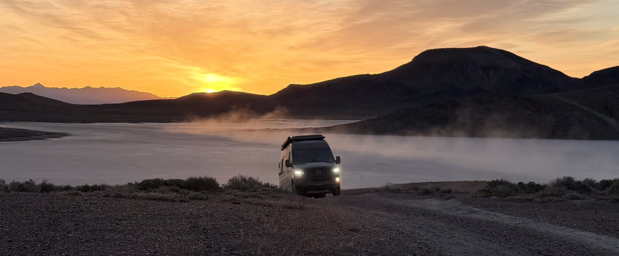
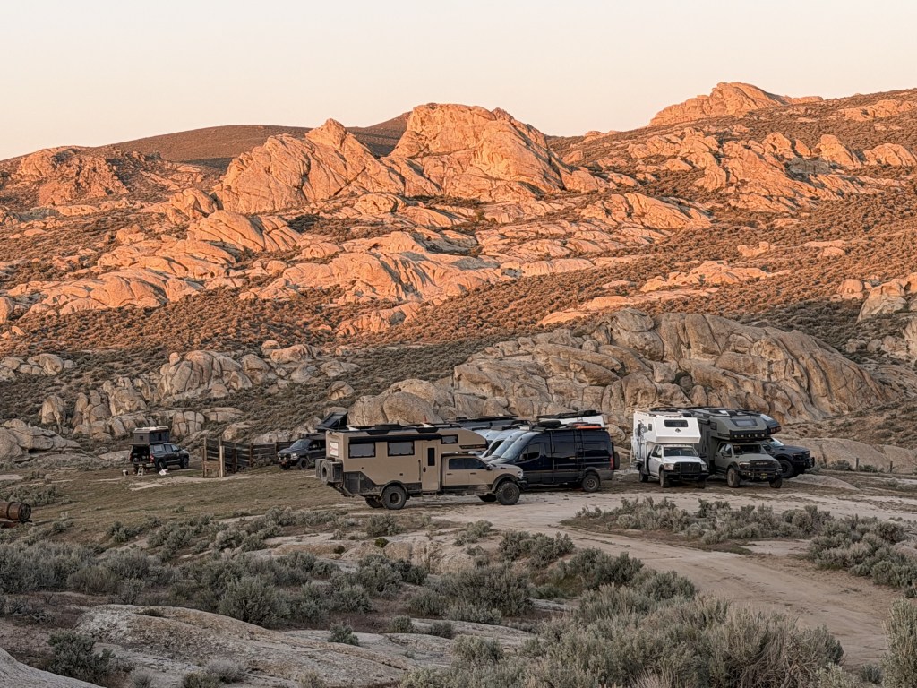
After a short drive to the nearest truck stop, we greeted our clients for a pre-trip driver meeting. Everyone aired down; from this point on was all dirt. The track on the first day was fun but uneventful. We traveled roughly 70 miles through the Black Rock Desert NCA along the south side of the playa. We did see some wildlife like pronghorn antelope, wild horses, jack rabbits, and lots of cows. Camp that night was one of the most magnificent places I have been. It’s called the lava beds despite the geology here comprising granite spires and boulders that rise from the ground, reaching for the sky. Our amazing chef, Jesse, prepared rattlesnake and rabbit sausage. After dinner, the group gathered around the fire. I remember looking up and seeing the most stars ever.
Day 2 started as amazingly as the previous evening had ended. The sun silhouetted the granite spires while shining brightly upon the playa and Black Rock Point to the North. Our convoy rolled out of camp at about 9:45, headed to our first stop at the town of Gerlach, Nevada, a small town that serves as the gateway to the desert.
Entering Gerlach at about noon for a quick refuel and a bit of lunch, the team was keen to keep moving towards our goal of reaching a personal special feature of the NCA, the micro playa dry lakebeds just to the east of Black Rock point. Driving effortlessly across the playa to Double Hot Spring, our route turned south along the Lassen Applegate trail.
“Jesse Applegate was a Missouri Farmer. In 1840, he heard of the awesome, fertile lands of Oregon, and he and his brother’s family in tow struck out. Crossing the Columbia River was
horrifying as they did not know how to swim. So, they built a boat to cross, but both brothers lost their sons when it capsized. They vowed to develop a better route.
The Oregon route was very important to America, as Russia was granting its citizens territorial rights for fishing, whaling, and land settlement across the Bering Strait into the 50th parallel.
Developing a new route was paramount to the occupation. In 1842, the Applegate Trail was the right passable route, and 100 people used it. It started at Rye Patch Reservoir (Lassen Meadows) and turned towards Black Rock.
The first 900 people used the trail to go to Oregon in 1843. Then two things happened…in 1846, the Donner Party was much the talk, and the rush to the Gold Fields of California had begun. Faced with the 40-mile desert and a perilous Sierra Crossing, more and more people turned to the Applegate Trail and Lassen’s cutoff (Fandango Pass) to get to California. “At the noon halt… were several boiling springs, two of which were great curiosities. Like twins standing side by side, they are about 30 feet in diameter. Here, we did our washing and cooked our beans in the creek.”
– Isaac Foster, August 31, 1849
From Black Rock Hot Springs, the trail route heads north, generally under or near the driving road to Double Hot Springs. These and other springs north of the black rock were used by
emigrants when Black Rock Spring became too congested.”[i]
This section of the trail is unimproved in every way. As part of the National Conservation Area, these designated routes remain as austere as when emigrants of the western migration traveled them 175 years ago. The conditions of the trail change seasonally, and as the region is geologically active, sometimes the water tables shift as well, resulting from hundreds of annual micro-quake events.
Our planned route forced our band to cross through a section of trail that had become permanently flooded. With a firm bottom but 18-24 inches of standing water, a challenge all the same. Jeff and Sue crossed in their Tundra first without issue. Then spotted the next 11 vehicles through (8-sprinters, another Tundra-trailer combo, and 2 GXV Hilts). Joel’s turn, he started into the water, expecting an easy and effortless drive through, but things quickly changed, and the rear corner of the truck got stuck. Properly stuck. Stuck to the rear axle and the differential, high-centered on the heavy, caustic, gypsum-clay mud.
Anchoring off one of the other Hilts, our first recovery attempt was to winch out. At almost 20,000lbs loaded, plus the resistance of the obstacle, we failed quickly and moved on. Following several more attempts supported by traction boards, dynamic ropes, and good old digging with hand tools, the team was able to remove the rig from the mire.
After getting the truck, we thought everything was okay. But as we started moving the complex integrated suspension system, sensors alarmed and defaulted into limp mode. Fortunately, Daniel was saving the day. He is one of the Storyteller team members who helped design the hilt and had the knowledge to reset the liquid springs. Dinner was extra delicious this night.
Daybreak Day: Joel, Daniel, and I departed on a reconnaissance at first light. We wanted to find another route out to avoid going back through the water. After about 4 hours, we found another way. This way went past the Black Rock Point and led us onto the main playa, which presents its own risks, especially this time of year. Our solution involved a small wet spot to get over, but we believed it would be safe and possible.
Returning to camp, we gathered our full team and briefed them on the plan. We departed by 11am, intending to reach Soldier Meadows.
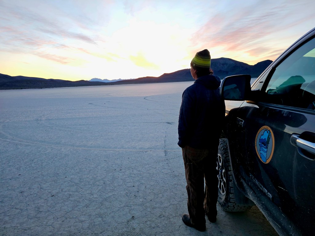
We made it down to the wet spot on the playa and used all of the traction boards in our caravan to construct a bridge across. It took about an hour to move everyone, and as we got the last few trucks across, we looked to the northwest and saw rain coming. We had about 30 minutes at this point to get off the playa before it turned into a mud pool. Driving with a new purpose, 11 vehicles made it off in the rain and wind. Luck was on our side. Soldier Meadows Camp (and hot spring). That afternoon, Joel, Jeff, and I spent a little time reflecting on our luck in the hot spring
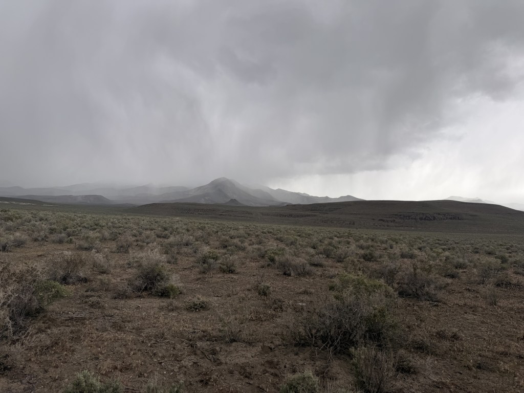
On the last day of the trip, my dad, Jeff, and I spent the sunrise watching from the hot spring with a pot of coffee. Being the last day of the trip, we took the morning with a slow start. We took pictures with everyone and had our driver’s meeting, where we talked about the events of the trip. Today’s plan was to make our way back to Gerlach and then to see the Fly Geyser. The easy drive to Gerlach turned out to be lightly complicated by rain and snow. The Fly Geyser visit didn’t pan out. Fatigue settled in across the guides and clients alike. It was here that hugs, photos, and goodbyes wrapped up the tour. No Blackrock trip is complete without a visit to Bruno’s Country Club. Sue, Joel, Jeff, and I went back to Gerlach for this one last obligation before saying our own goodbye.
This was one of the most memorable trips I have had as a guide, and everyone on the trip learned a lot and had fun while pushing through the struggle to watch some amazing sunsets with some amazing people.
[i] Companion Guide to the Black Rock Desert Region, Wildwood Open Lands Foundation, Spring 2026, pg.19.
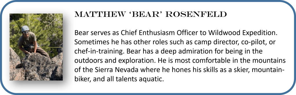
About the Author